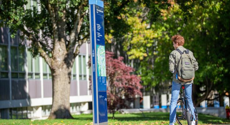
Whether you’re walking, rolling, or cycling around the Vancouver campus, the recently launched online map tool for UBC will help you identify the best and most accessible route to get from point A to point B.
The new wayfinding resource provides different navigation options, including finding a route based on accessibility requirements. For someone with mobility issues, this means being able to navigate their way around campus with route details that include potential barriers such as steep slopes, stairs and doors that are not powered. If you’re cycling, the route provided will include details such as ramps to building entrances and the closest bike rack.
“The directions provided with the new wayfinding website can provide the most simplified and accessible route and not necessarily the shortest,” explained Rachel Wiersma from Campus and Community Planning. “This wayfinding system provides critical details for pedestrians, cyclists and wheelchair users that are unique to our campus and is not intended for drivers. It’s a specific need that Google maps can’t address.”
Here are some other features of the map:
- It’s mobile friendly
- Building information includes hours of operation, address, and contact information
- It meets Web Content Accessibility Guidelines, which means that it has been tested against screen readers, has descriptive labels, and uses contrasting colours to aid the visually impaired
- Routes that are affected by construction will not be shown
- The total distance is provided for each route and includes written and visual directions
This project was funded through the Centre for Accessibility in partnership with Campus and Community Planning. To ensure the new wayfinding approach met the diverse needs of our campus community, engagement was done with students, staff, faculty, and external experts who represent a range of access needs.
How to use the wayfinding system https://maps.ubc.ca/
- Type in your current location and destination in the top left-hand corner (start typing a building name to see a list of locations)
- Select preferred transportation option using the icons at the very top (walking, cycling/rolling etc.).
- For additional navigation options (such as avoiding steep slopes), select the icon with the gears
- For written directions, select the icon with the notepad
See screen shot below for these features:

